A non-viking, viking settlement!

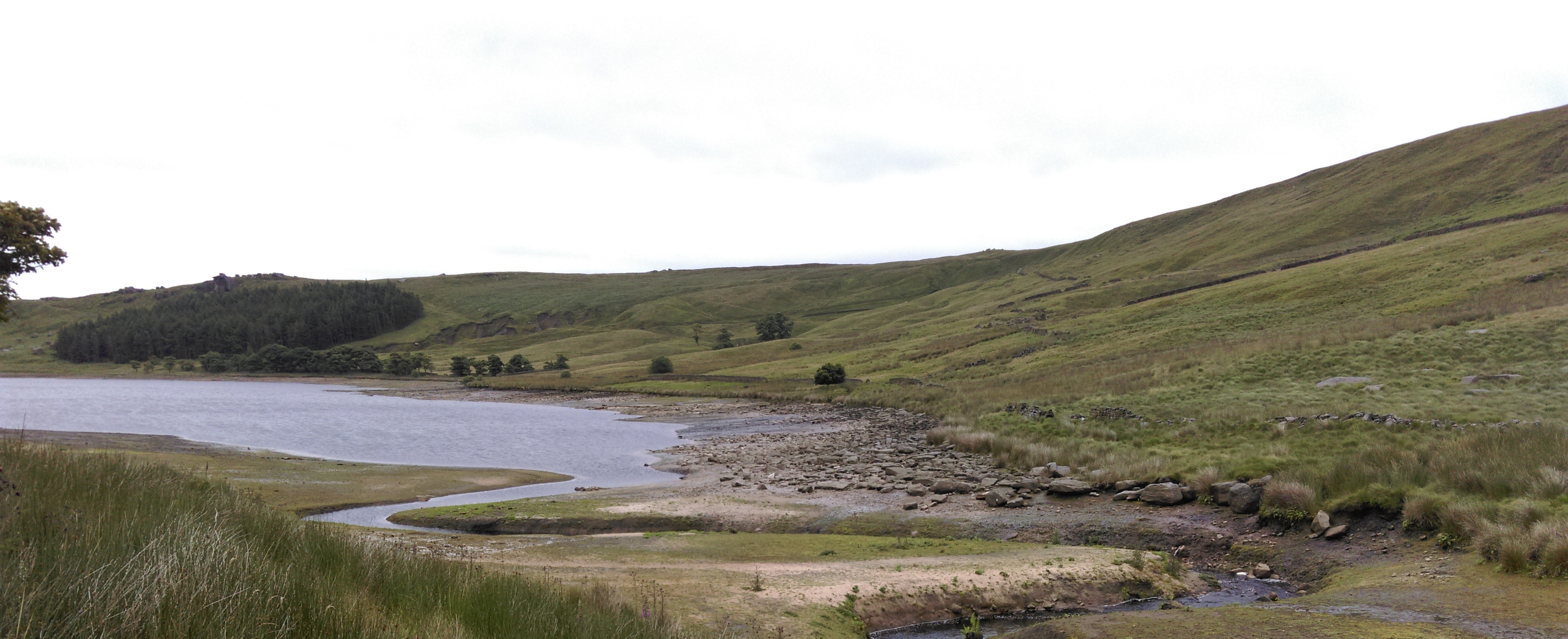
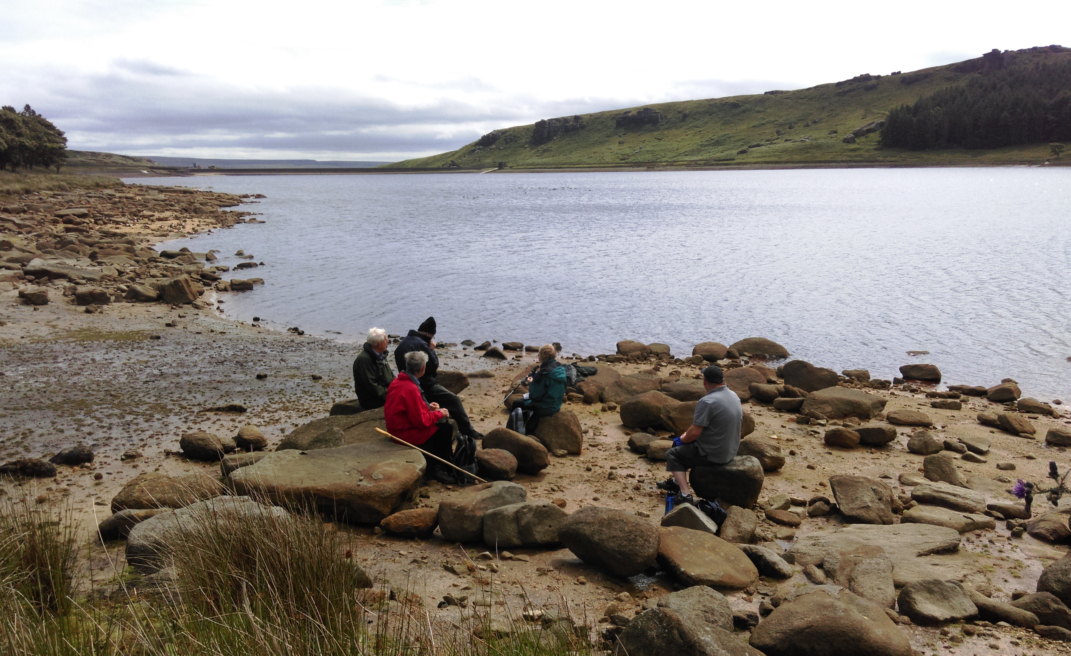
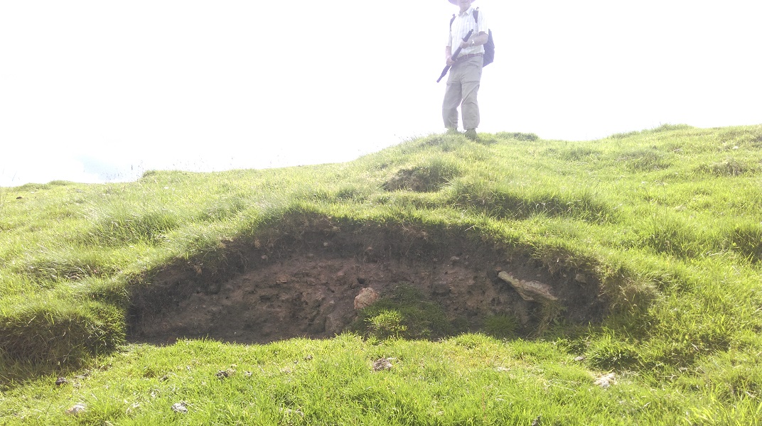
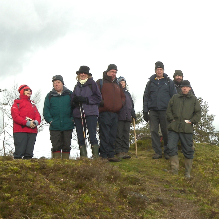
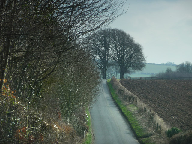
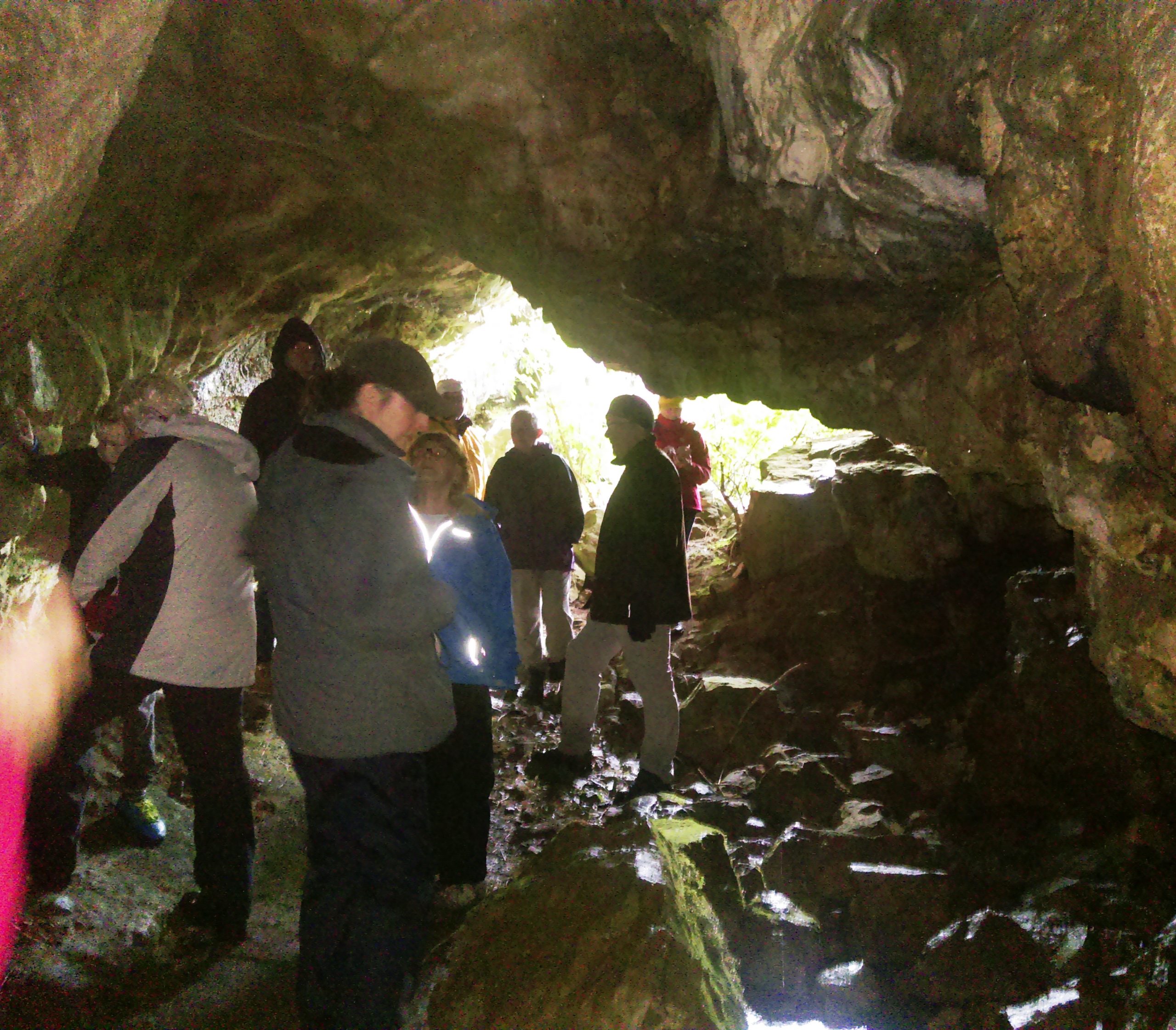
Under the leadership of Alex Whitlock, thirteen intrepid explorers crossed the border into the rather windy (and occasionally wet) Kinsey Cave roof
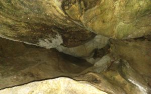
Yorkshire Dales to join the Ingleborough Archaeology Group to view the widely publicised Gauber Viking Settlement. However, a slight detour above Settle on our outward journey allowed us – like a flock of sheep – to follow AW to view Kinsey cave, which excavations have shown to have been inhabited in the paleolithic era.

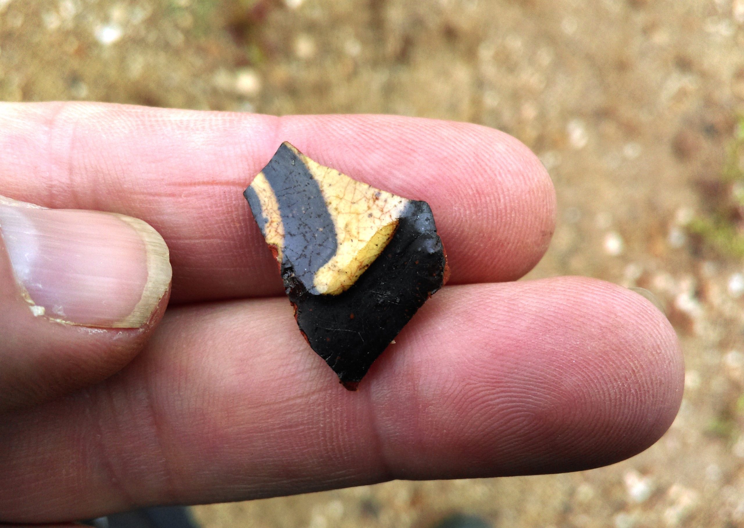
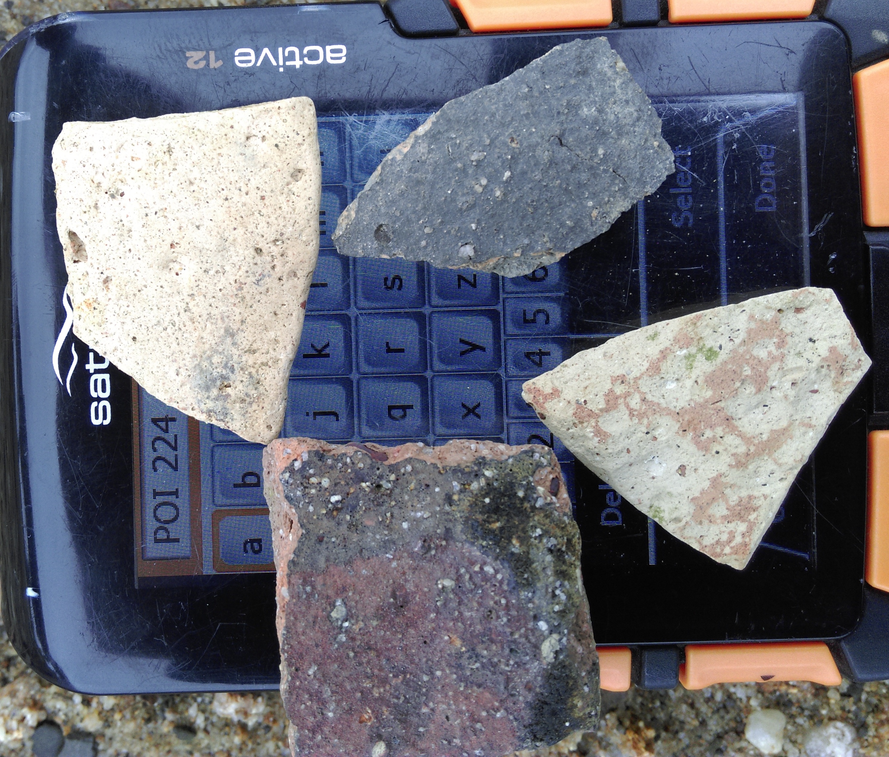
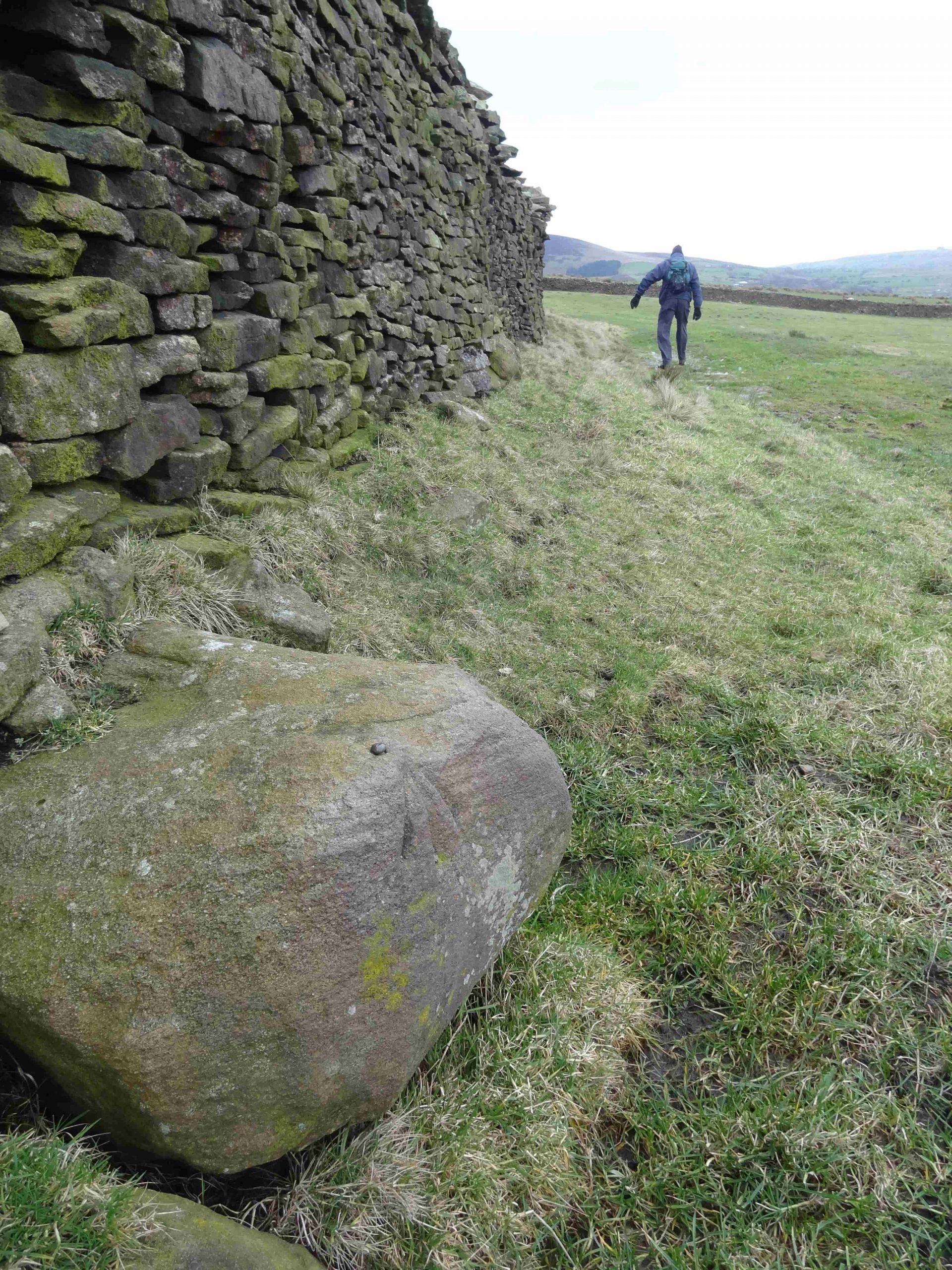
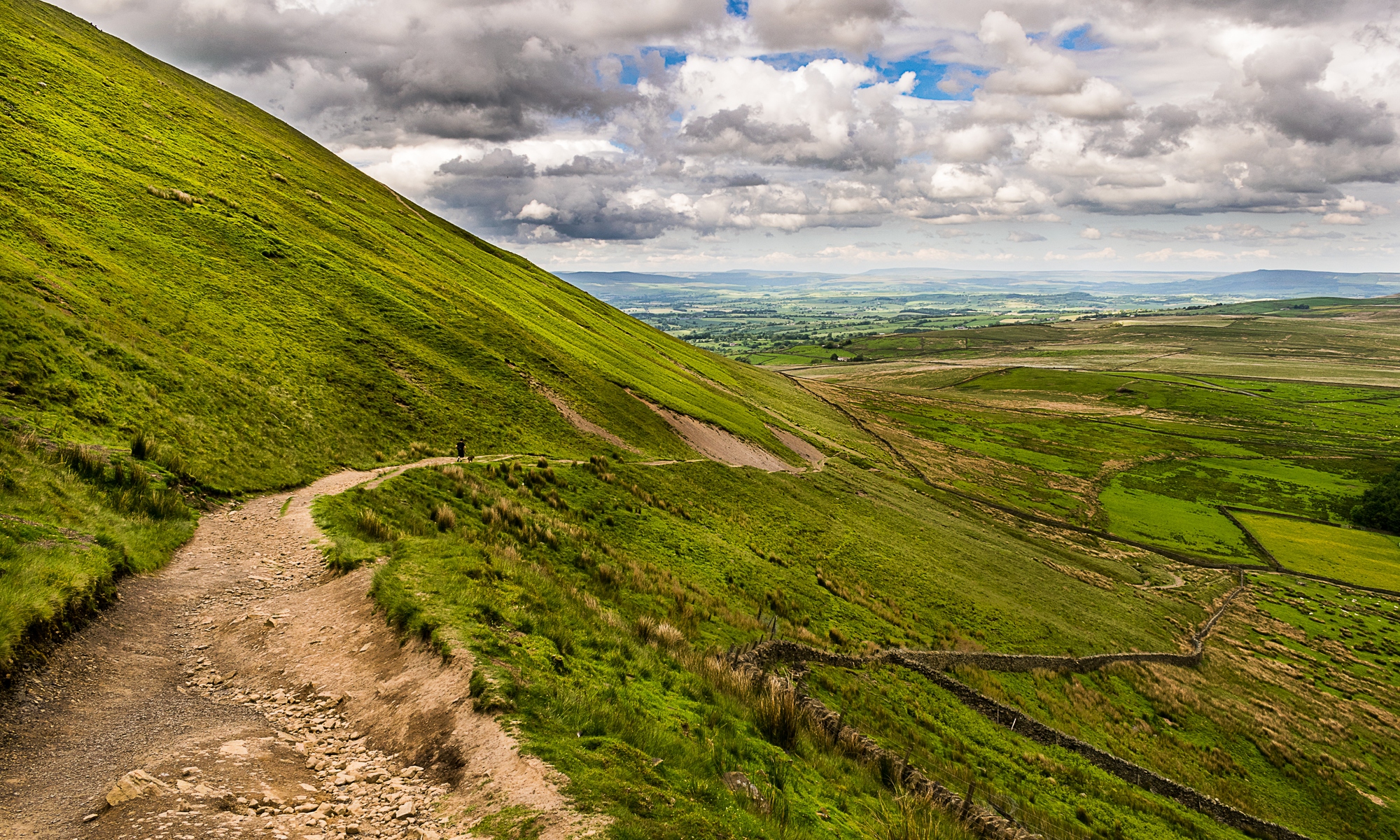
Half an hours drive then brought us to Ribblehead Quarry where we were taken on a fascinating walk by archaeologist and author David Johnson who led us out of the quarry onto a fabulous area of limestone pavement to view what was obviously an old settlement.    Early Medieval settlement site
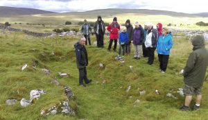
But why on earth would you build on such uneven ground?  Answer – they didn’t!  Soil erosion transformed the landscape from good to unusable land leading to a relatively short period of habitation.  With walls 2 metres thick and an internal length of nearly 20 metres the main building has long been considered to be of Viking origin but the relatively recent discovery of two 9th century coins has led to it being reassessed as pre 900AD which is some years before the Vikings invaded!  This theory is supported by the layout of the building which appear to have been for human use only (the vikings are believed to have kept livestock in one half).At long last - sun over Ingleborough

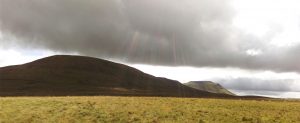
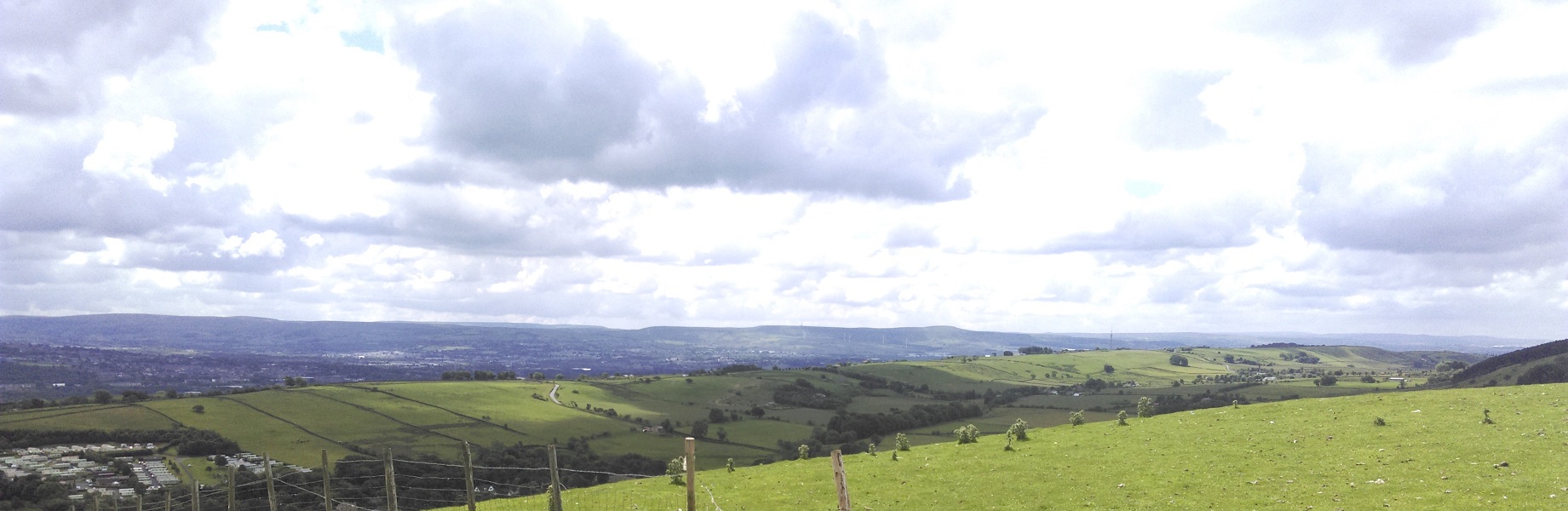
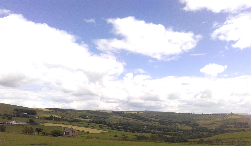
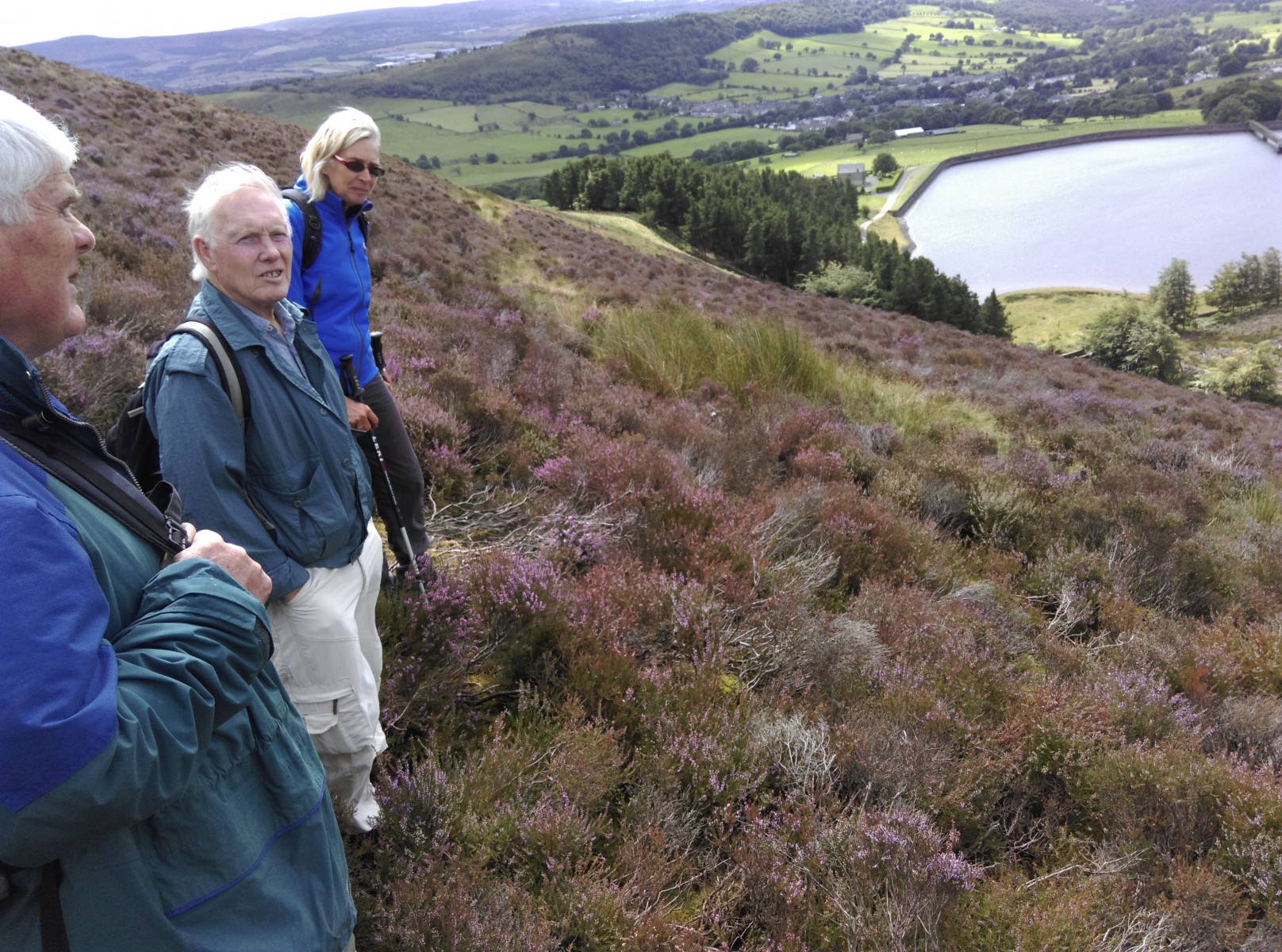
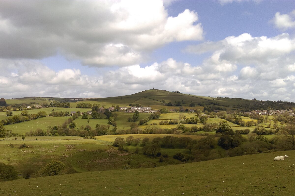
So ended a most interesting trip with the sun coming out to light up Ingleborough.  The change in the weather must have been even more welcome to the dozens of walkers attempting the Three Peaks walk!


Widdop Wander

Widdop
Widdop

A small but elite group did a very low speed walk along the northern edge of Widdop today.
We lunched in Orthostat Bay before walking out along Barn Point.
Orthostat Bay, Widdop

The walk was a break from the usual field walks that are part of the vaccary & PHV projects. Today was about enjoying the rather excellent views, bimbling along looking at the features of a preserved upland landscape & beachcombing.
Find of the day was pretty much split between Steve and Ken – the final decision possibly going to Steve on a numeric basis.
Finds from the day
Finds from the day

Posted from a secret location near Morecambe Bay!

Up Hill & Down Dale – PENDLE’S HIDDEN VALLEY FIELDWALK – 25th June 2016 – Brown Hill

Cruck Barn Wedding
Cruck Barn Wedding

Our day started with a slight twist. Having finished our pre walk meeting in the Heritage Centre Café (aka The Office) – we were invited to take a look at the newly renovated cruck framed barn. This has gone from an agricultural use to a marital one. Today it was being bedecked for a wedding (see image). I hope it was a happy event and went without a hitch (except the official one).
Early gate post Brown Hill west

The walk itself started near Old Hall Farm, Roughlee, and initially followed Pendle Way west north west, roughly. There seem to be a number of old building platforms in the hay meadows above the village. No detail was discernible due to the height of the flora. Higher up we encountered numerous quarries before briefly joining the road that runs north out of Roughlee. Just before we did that we spied a set of old gate posts (image above) that are either medieval or early post medieval. After our brief stint on the road we headed along the north east edge of Brown Hill. This afforded us a fine view (image below) of the subject of two walks from earlier this year – Admergill.
View East over Admergill from Brown Hill

Brown hill bank
Brown hill bank

At the north end of Brown Hill, running up to its summit, we noticed an old double ditch and bank. The image above shows it in section (courtesy of erosion) with its crown elegantly highlighted by legs. The feature becomes better defined the lower you go. It warrants further investigation. We stopped for lunch nearby and enjoyed the excellent views – like the one in the header image looking west along the Hidden Valley toward Spen Brook. After lunch we headed north east along the ridge, stopping for a look at Hollin Top Laithe Barn (one for recording) and its ancillary features – stone gatepost, walls, troughs, pitched track etc (image below). At Bank Ends we dropped down to Blacko Foot and paralleled Blacko Bar Road. In fields near North Farm we saw platforms & a banked ditch that need some research. They are on the old aerial images of the area but no clues are offered by the early OS maps. The ditch defines the edge of an area of intense ridge & furrow activity. From here we followed the old, possibly medieval, road back to Old Hall Farm and the end of the walk.
Hollin Top Laithe Barn - Brown Hill behind
Hollin Top Laithe Barn – Brown Hill behind

One objective of today was to look at a possible chert knapping site identified on one of the fieldwalks that comprised Phase 1 of the Pendle’s Hidden Valley Project. More material has eroded out of the site in the past year or so. I am now happy to upgrade the site from possible to probable.
I know I keep banging on about joining us on these walks because you never know what secrets of the past you may discover, or what surprising sights you may see, but it really is true. So join the Friends of Pendle Heritage and join us one of our field walks, digs, or other events. On which note, the final image was possibly the oddest thing seen today – not sure what Mother was saying to our kid but possibly summat along the lines of “Dunno what it is, but its been there since Noah were nobbut a lad”
Hollin Top Laithe
Hollin Top Laithe

Hidden Valley Field Walk – 15 August 2015


PENDLE’S HIDDEN VALLEY PROJECT – 15 August 2015 – FIELD WALK

Alex Whitlock

It was a day of mixed conditions, with a general trend to improve as the day wore on, all in all quite a pleasant spring day – in high summer. The object of the day’s walk was to have a look at the western flank of Bank Hill & see if clues could be found in the area that would explain the presence and purpose of the kiln we are currently excavating above Craggs. Continue reading “Hidden Valley Field Walk – 15 August 2015”

Hidden Valley Fieldwalk, 6 June 2015

Pendle’s Hidden Valley – Water Meetings Field Walk – 6 June 2015

In short, a highly productive day – quality not quantity.
Only four of us did the walk, including a new member – Mike W. We are very pleased to welcome some new ideas & fresh set of eye, and being few in number we had the opportunity to get to know Mike & vice versa.
We started from Blacko Bar Road in Roughlee then walked up to the old ridge road on the southern edge of the valley and followed this until it dropped down through the quarries & Hudderston Wood onto Water Meetings. Here we had our picnic in the summer sun & speculated on the cavortings that would have been taking place when the area was a playground for the Victorian inhabitants of the nearby mill towns.
After lunch we skirted other side of the valley from whence we came. When we got back to Blacko Bar Road David & Richard took the short cut back to the start while new boy Mike & I crossed the road & into the fields opposite. We then followed the line of the old road back to Roughlee Hall & thus to the end.
Continue reading “Hidden Valley Fieldwalk, 6 June 2015”

Pendle’s Hidden Valley – 22nd March

Here is a very quick précis of a short day before we got rained off.  We will do the planned walk next time.
After separating from out barn recording friends at the Pendle Heritage Centre, four of us did a short walk to the spot east of Sabden where Read History Group found slag on Tuesday.
Having looked at the site, it looks highly likely that we have evidence of our third bloomery in the valley.  The site may be more complete than our excavated Old House bloomery, though probably more disturbed.  An initial series of test pits some time in the future would be useful rather than a full scale dig.

Pendle’s Hidden Valley – Field Reconnaissance 8th February 2014

Pendle Heritage – Archaeology Group

Pendle’s Hidden Valley Field Reconnaissance 8th February 2014

The third field reconnaissance session for the Pendle’s Hidden Valley project took place on Saturday 8th February 2014 but in the face of dire weather forecasts, understandably, only 4 stalwarts braved the elements. In the end, despite strong winds we were relatively lucky with the conditions. Continue reading “Pendle’s Hidden Valley – Field Reconnaissance 8th February 2014”

Pendle’s Hidden Valley – Field Reconnaissance 11th January 2014

Portfield (3)The second field reconnaissance session for the Pendle’s Hidden Valley project took place on Saturday 11th January 2014 and was well attended with 10 stalwarts setting out from Whalley Golf Club (who kindly allowed us to use their car park).

We set out south along Clerk Hill towards Portfield and it was pointed out that this road  had been artificially sunken as part of the landscaping of the area for Clerk Hill (the house) in order that the view from the house would not be spoiled by seeing people on the road.

At Portfield we assessed the view of the area from a public footpath in the field adjacent to the fort and noted that the fort commanded a 360 deg field of view with a particularly good view back up the Sabden Valley.